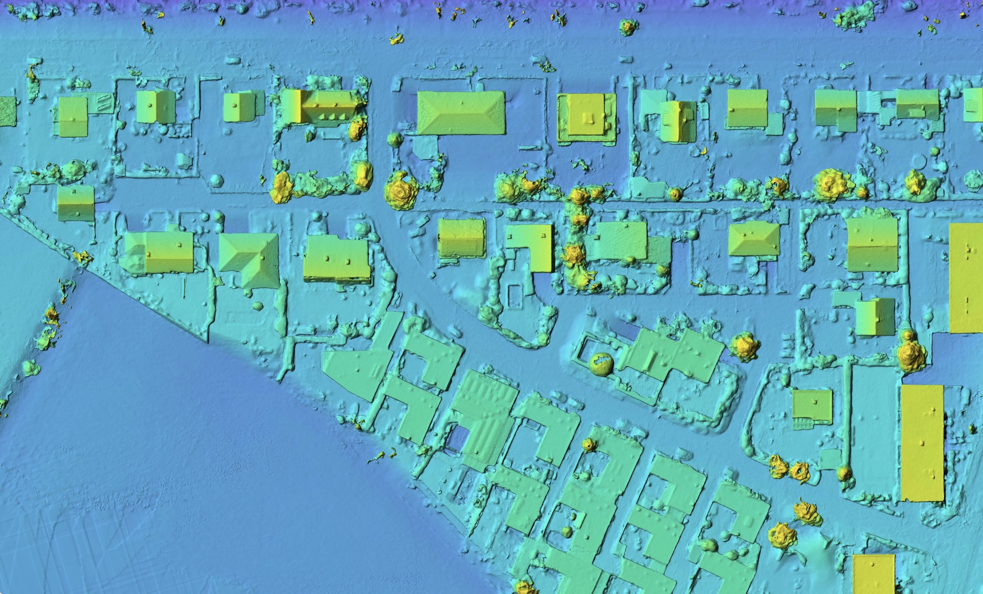
Leveraging advanced drone technology, we efficiently produce orthophotos and evaluate large areas, offering detailed insights for various applications at reduced costs.
Our technology serves critical needs in urban planning, construction, agriculture, environmental conservation, and crisis management for catastrophe areas, providing fast, precise mapping and insights.
How It works
When taking photos in a very specific pattern and taking notes of the location we can calculate an Orthophoto or 3d models like a satellite image just higher quality
Benefits
Depending on the scale and resolution you require a job can be done in just a few hours and is thus a lot cheaper that traditional techniques.
Different ways to display data like a elevation map